As mentioned in the report on this month’s meeting, I gave a presentation on the growth of Grandview using the data collated in the growing Grandview Database. This post is a brief and attenuated version of that report.
In the maps that follow, the following streets are highlighted to allow orientation:
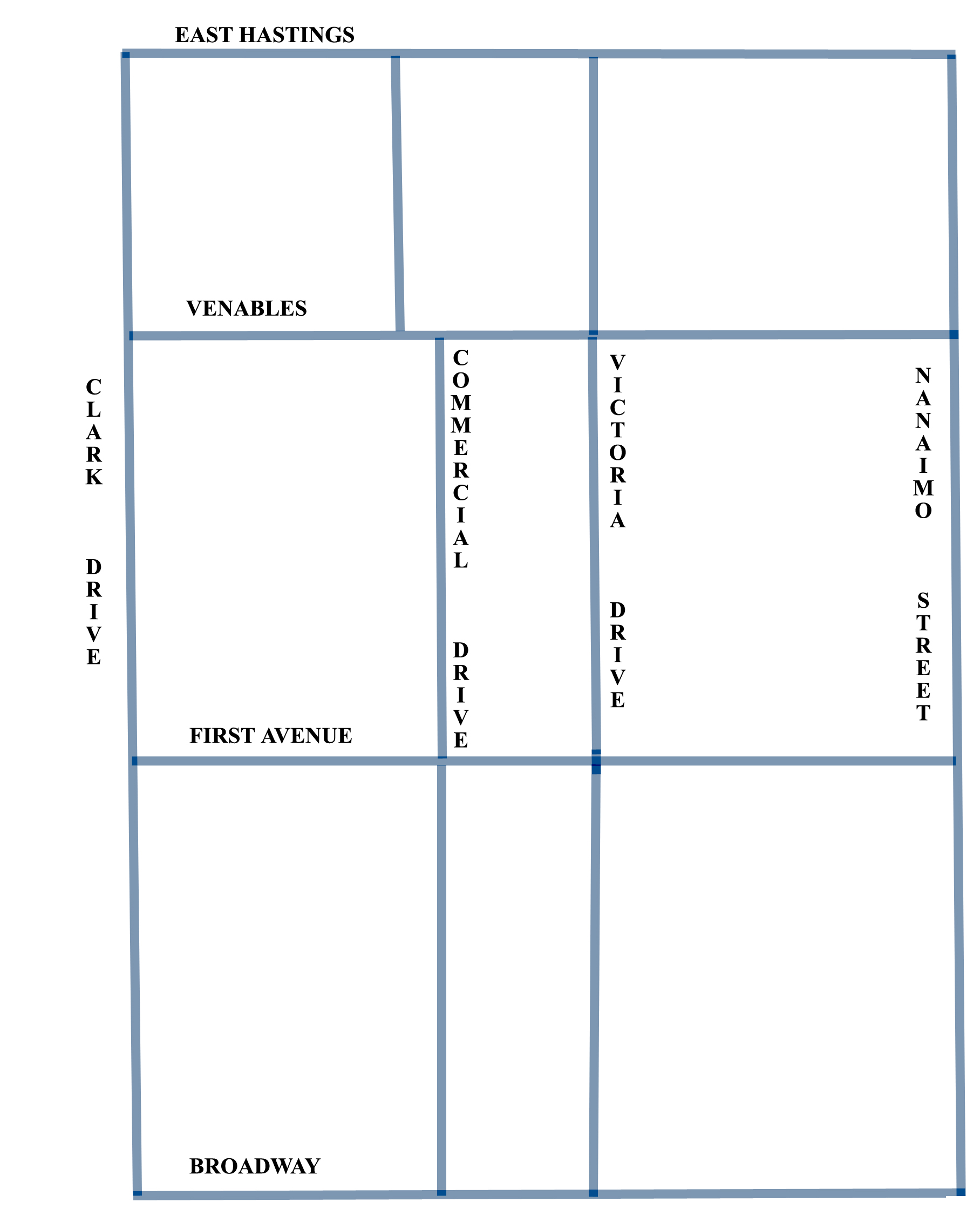
It has often been thought that the laying of the interurban tramline between Vancouver and New Westminster in 1891 brought about the growth of Grandview. While it is true the line ran down Venables Street and proceeded along Commercial Drive (then, Park Drive), there were no stops in Grandview itself.
What little development took place involved bringing building materials along the half-open Clark Drive and hauling them up the timber skid roads that ran down from the later Victoria Drive to False Creek between what would become William and Grant Streets. This was probably a disappointment for the land owners of the area, but they did well enough in Cedar Cottage and Central Park where the tram really did spur development.
By the time of the 1901 Census, there were barely a dozen houses in the core area of Grandview, virtually all of them in the area of the skid road west of Park Drive.

The blue block in the north-east was the Isolation Hospital, where Templeton School is today. In the following maps, public buildings, generally schools, are shown as blue blocks. Official parks will be shown in green.
It is important to realize that at this date there were NO roads cleared. The entire area was in heavy stubble from the logging operations of the previous decades. However a few years into the new century, the large landowners of the area (mostly financiers and monied gentlemen in the city of Vancouver) began to subdivide and offer up lots for sale.
There were still many desirable areas available closer to the city centre and so business was slow at first. This is the situation by 1905.
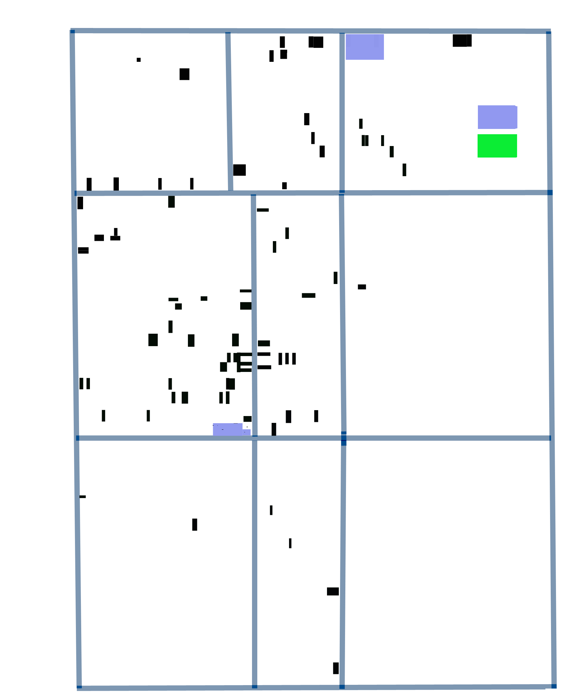
Future growth was clearly anticipated in the acquisition of sites for Macdonald School on Hastings, and the Grandview School at Park and First.
The trajectory of growth is clearly from north-west (closest to city centre) to south-east. However, the next few years saw such explosive growth that the direction became irrelevant. From 1907 until 1913, Grandview was the subject of an extraordinary speculative boom in lots and houses, the speculation justified by major population influxes, mainly from Great Britain. By 1910, Grandview is well established.

The boom continued until the pre-war financial crisis of 1913 brought building almost to a halt throughout the city. The level of building between 1910 and 1915 can be compared in the following map.

In this map, what would later become Grandview Park on Commercial Drive is shown as a brown block. In 1915 the area was controlled by the Dominion War Department and was used for drilling soldiers and recruitment. It would not become a park until much later in the 1920s.
Building in Grandview was essentially halted by the recession, the war, and post-war economics until well into the 1920s.
